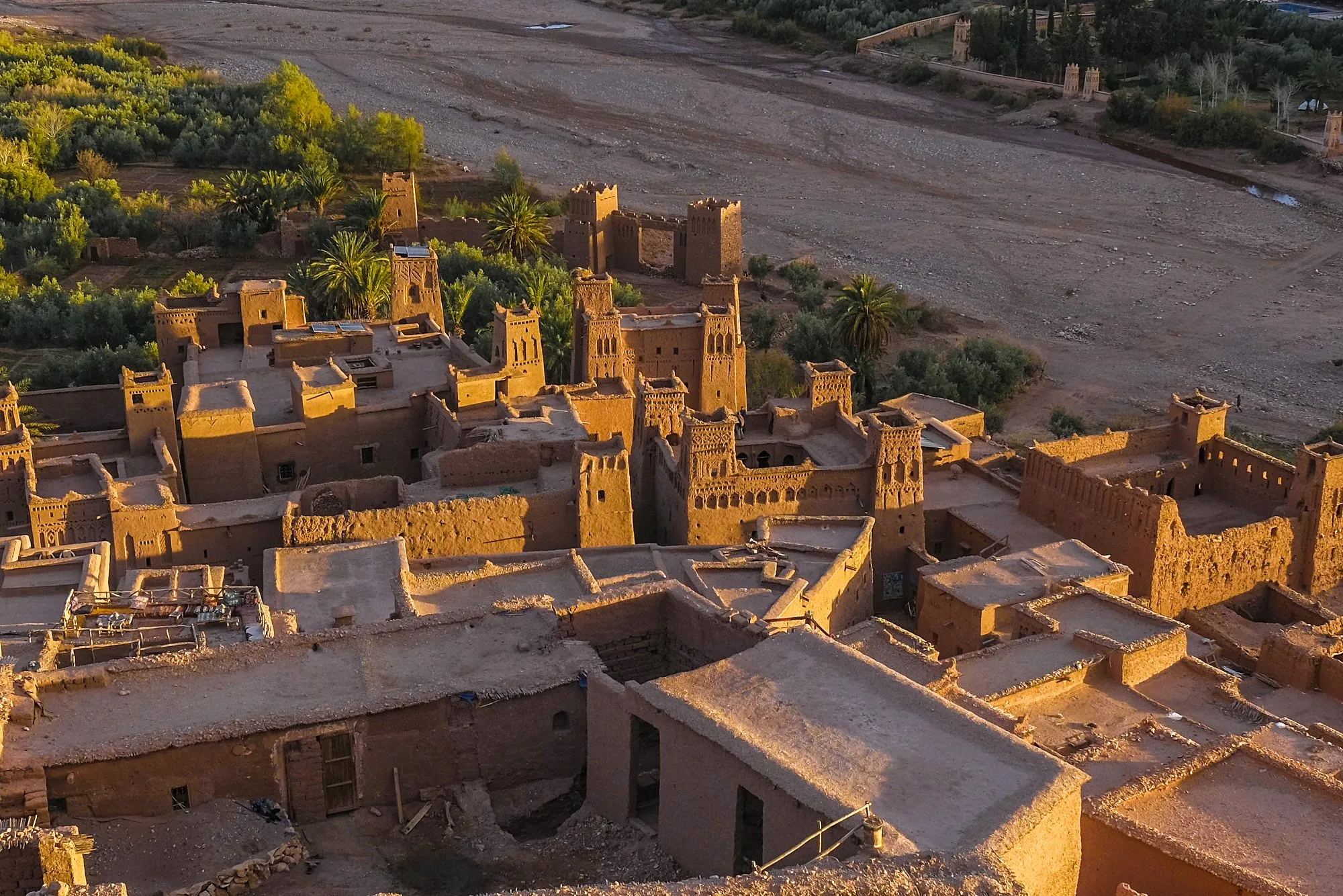
Ounila Valley
Aït Ben Haddou
An earthen ksar beside the Ounila River, where paths rise between houses towards the hilltop.
THE REGIONAL ATLAS
From a half day in the city to a journey deep into the south. Find the places that belong in your story.
32DISCOVERIES
A PLACE TO BEGIN
An earthen ksar beside the Ounila River, where paths rise between houses towards the hilltop.
Discover more32 discoveries
Explore on the mapOunila Valley
An earthen ksar beside the Ounila River, where paths rise between houses towards the hilltop.
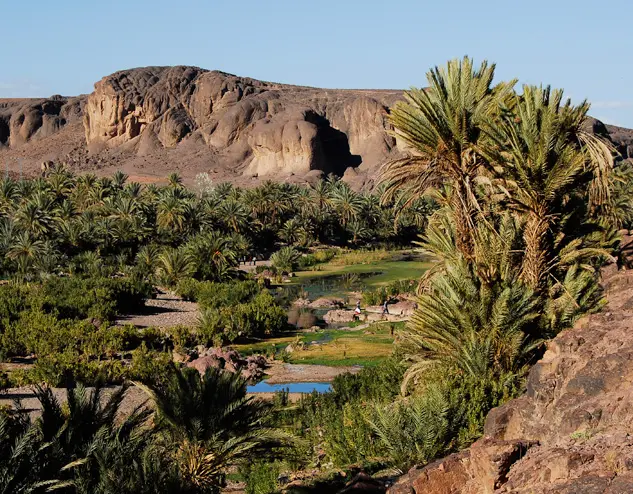
South of Ouarzazate
A cultivated valley of palms and village paths enclosed by dry, rocky hills.
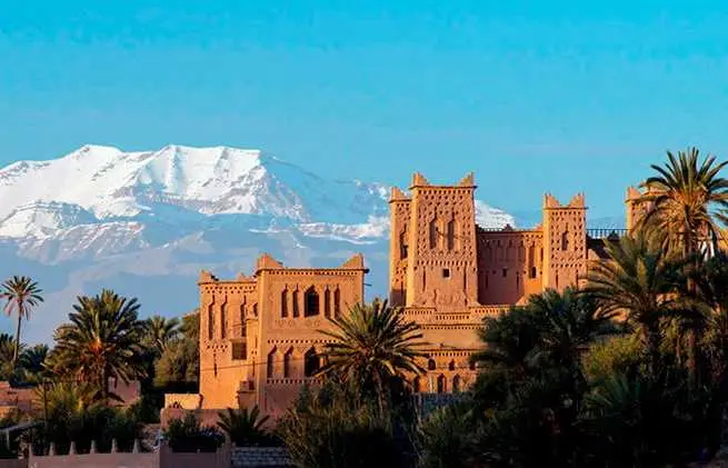
Eastern oasis route
A palm-grove landscape where earthen houses and kasbahs sit among cultivated plots.
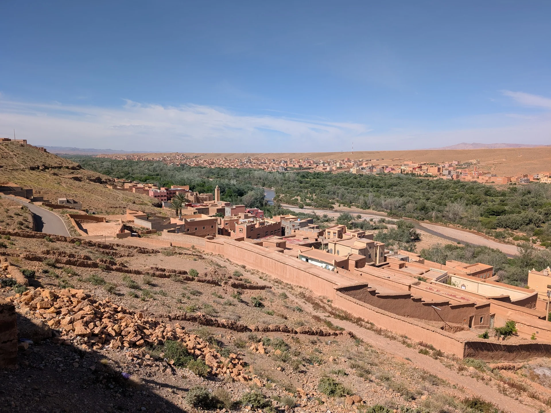
Southern High Atlas
A cultivated river valley where villages, gardens and rock formations share the same narrow corridor.
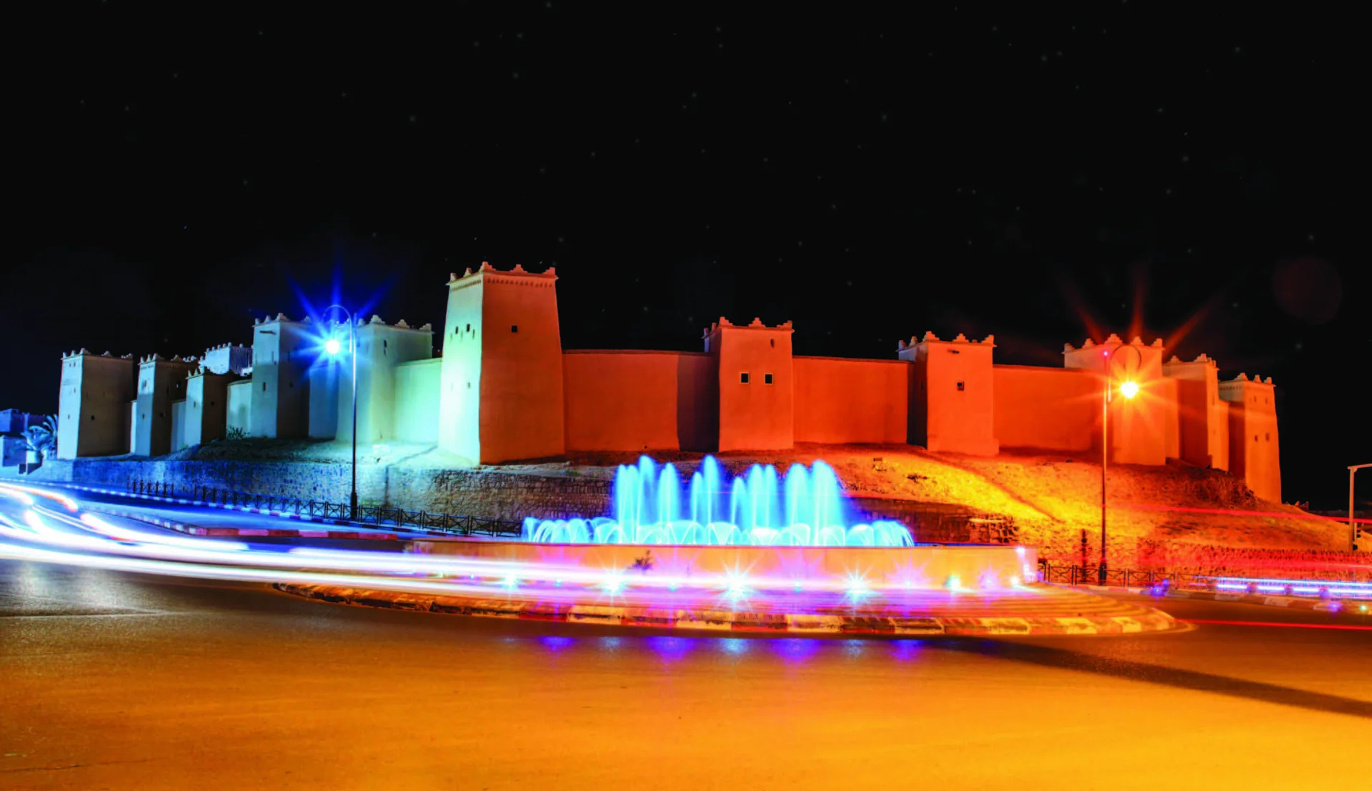
Atlas foothills
The city between mountain roads, earthen kasbahs and the routes towards the Sahara.
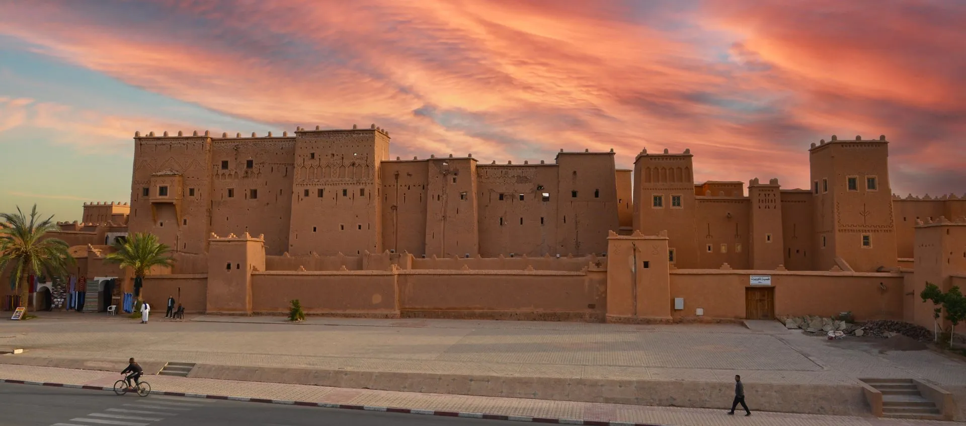
Ouarzazate
Earthen towers and an old residential quarter at the heart of Ouarzazate’s heritage.
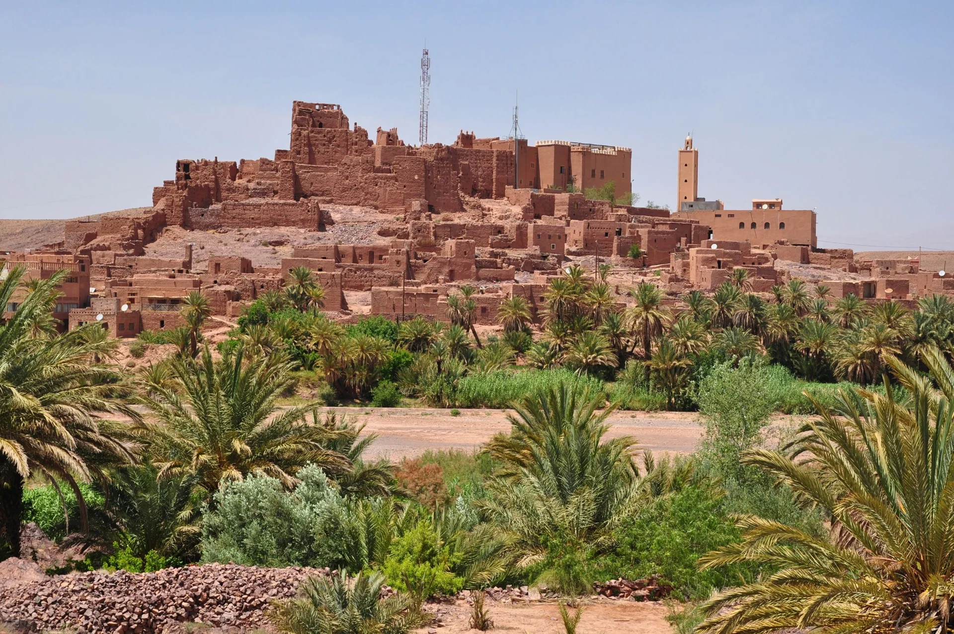
Western Ouarzazate
A historic kasbah overlooking the Ouarzazate River landscape west of the city.
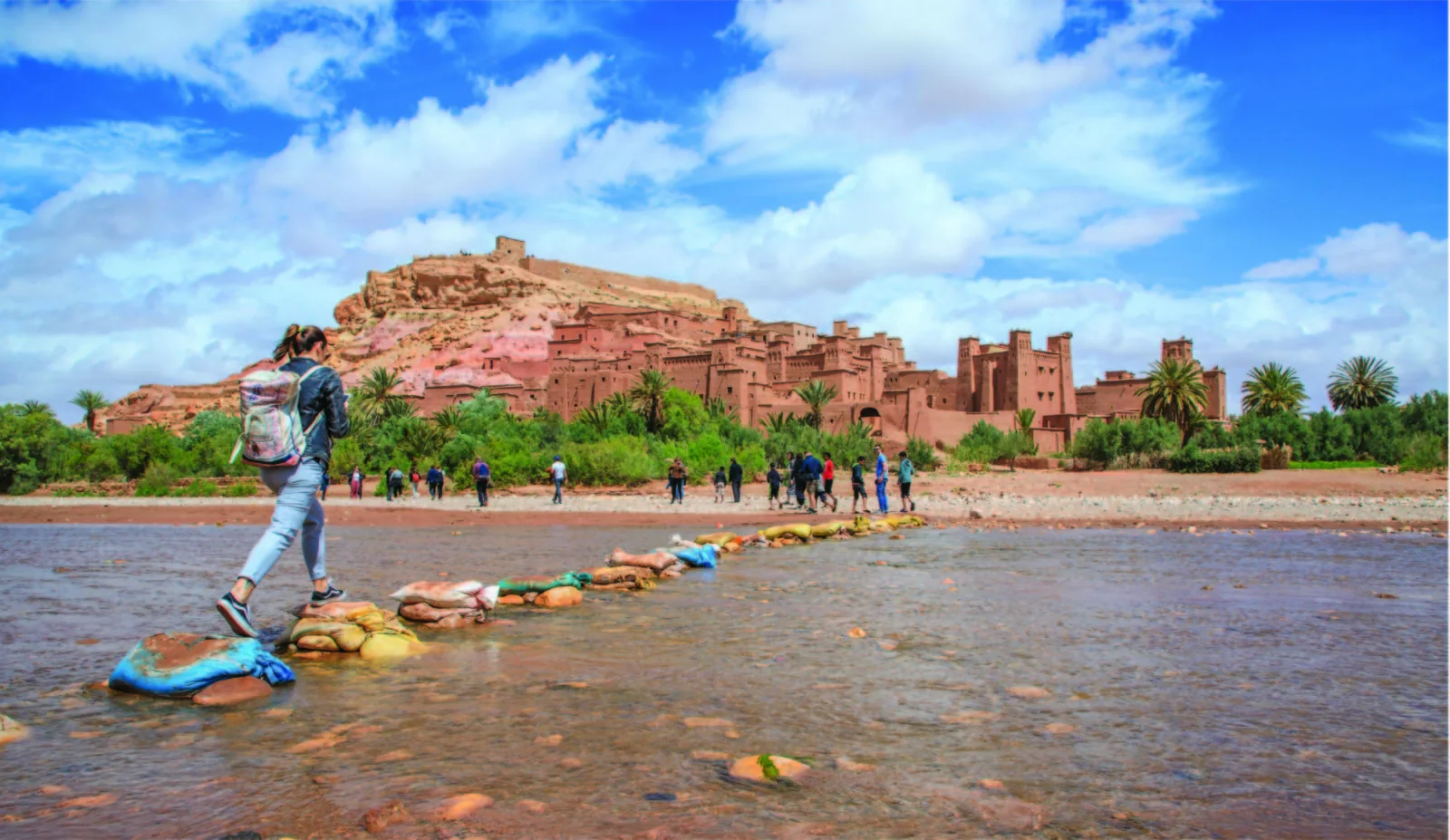
High Atlas to Aït Ben Haddou
A river corridor of villages, cultivated terraces and earthen architecture between the Atlas and Aït Ben Haddou.
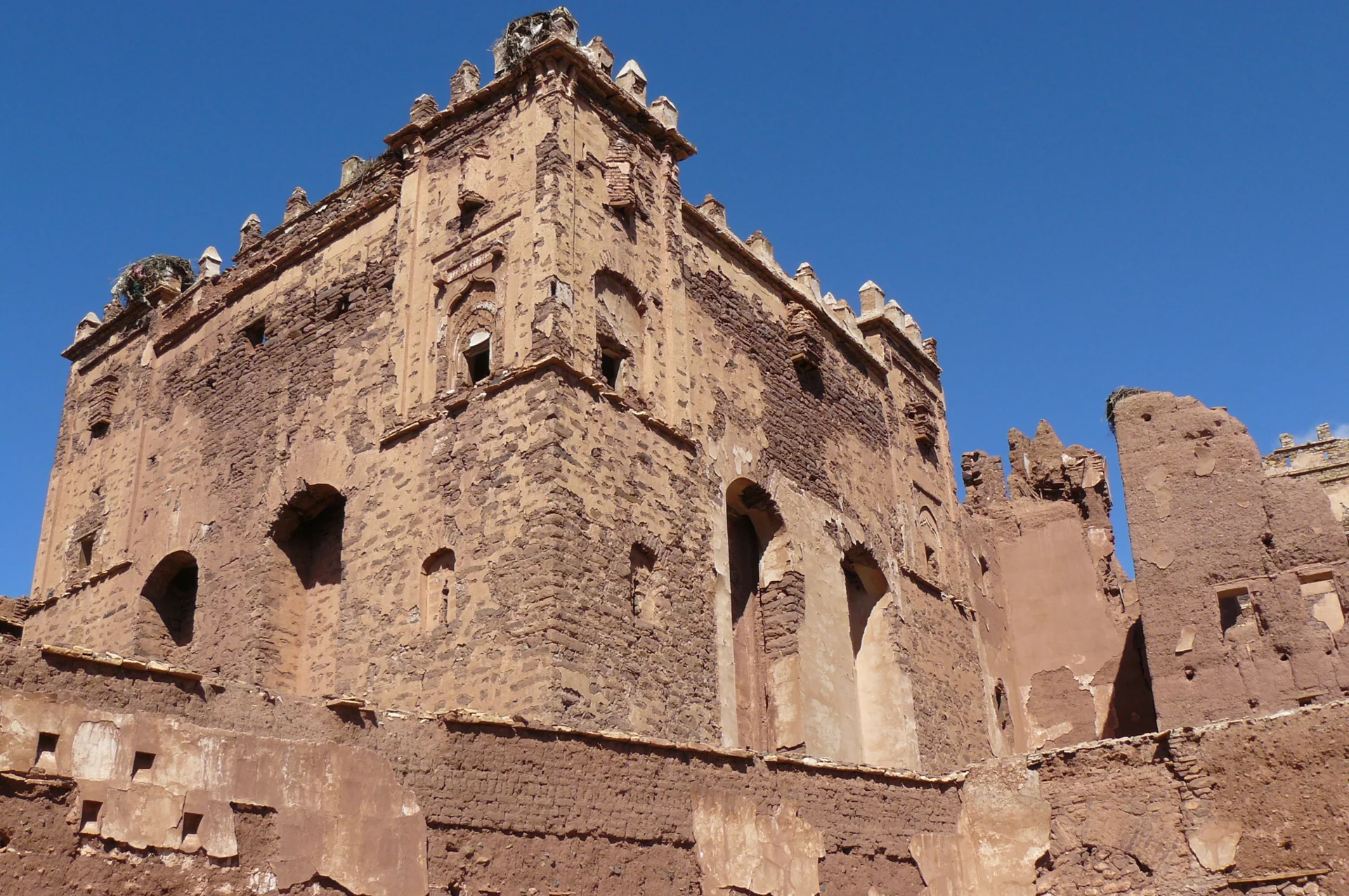
High Atlas / Ounila
A High Atlas village known for the Glaoui kasbah and its richly worked interior spaces.
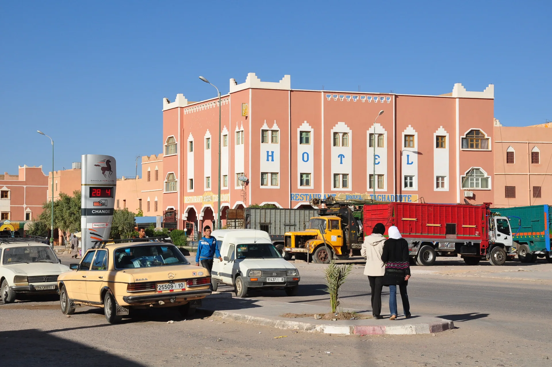
Western Anti-Atlas approaches
A town associated with the weaving traditions of the surrounding southern Moroccan communities.
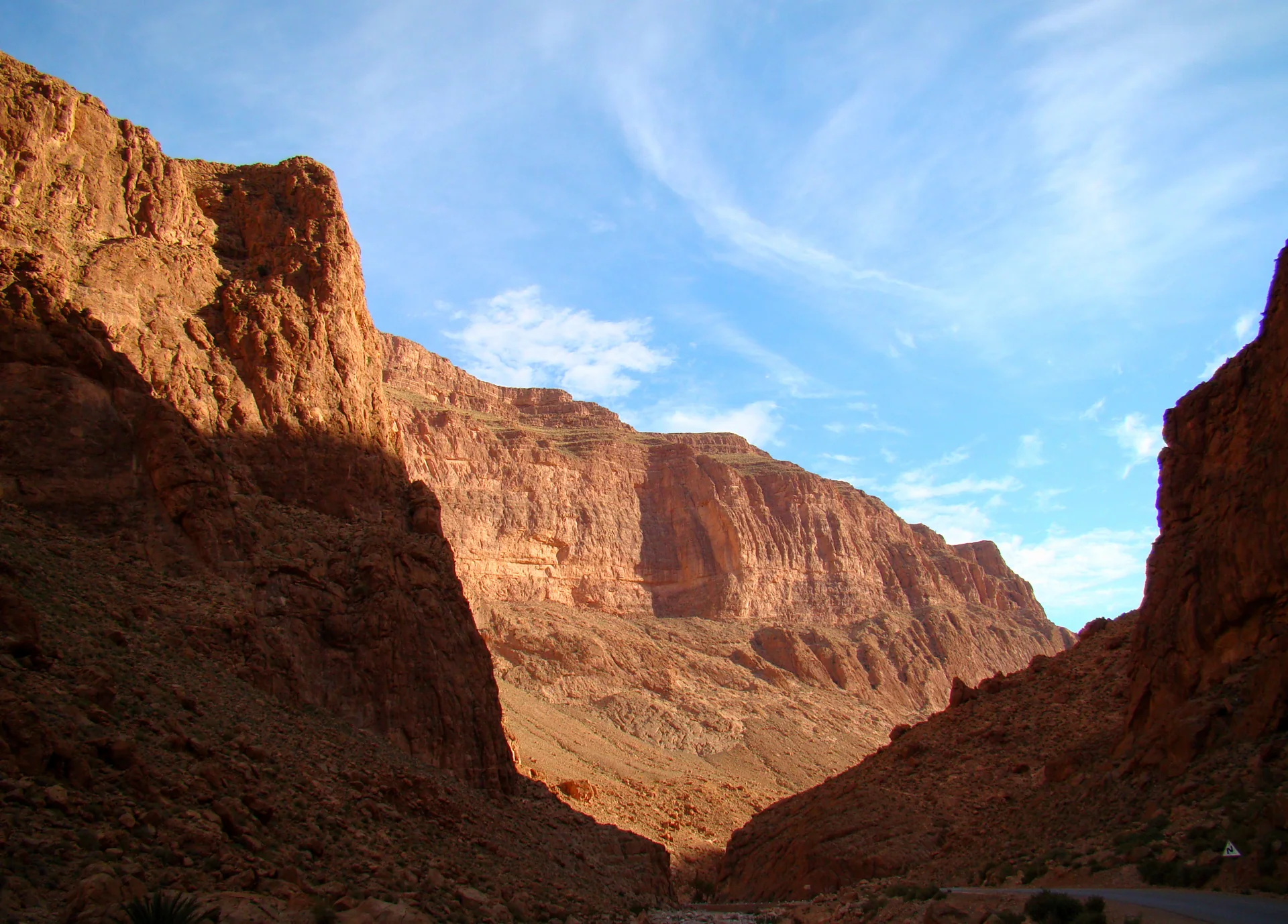
Eastern High Atlas
Limestone walls close around the river beyond the palms and settlements of Tinghir.
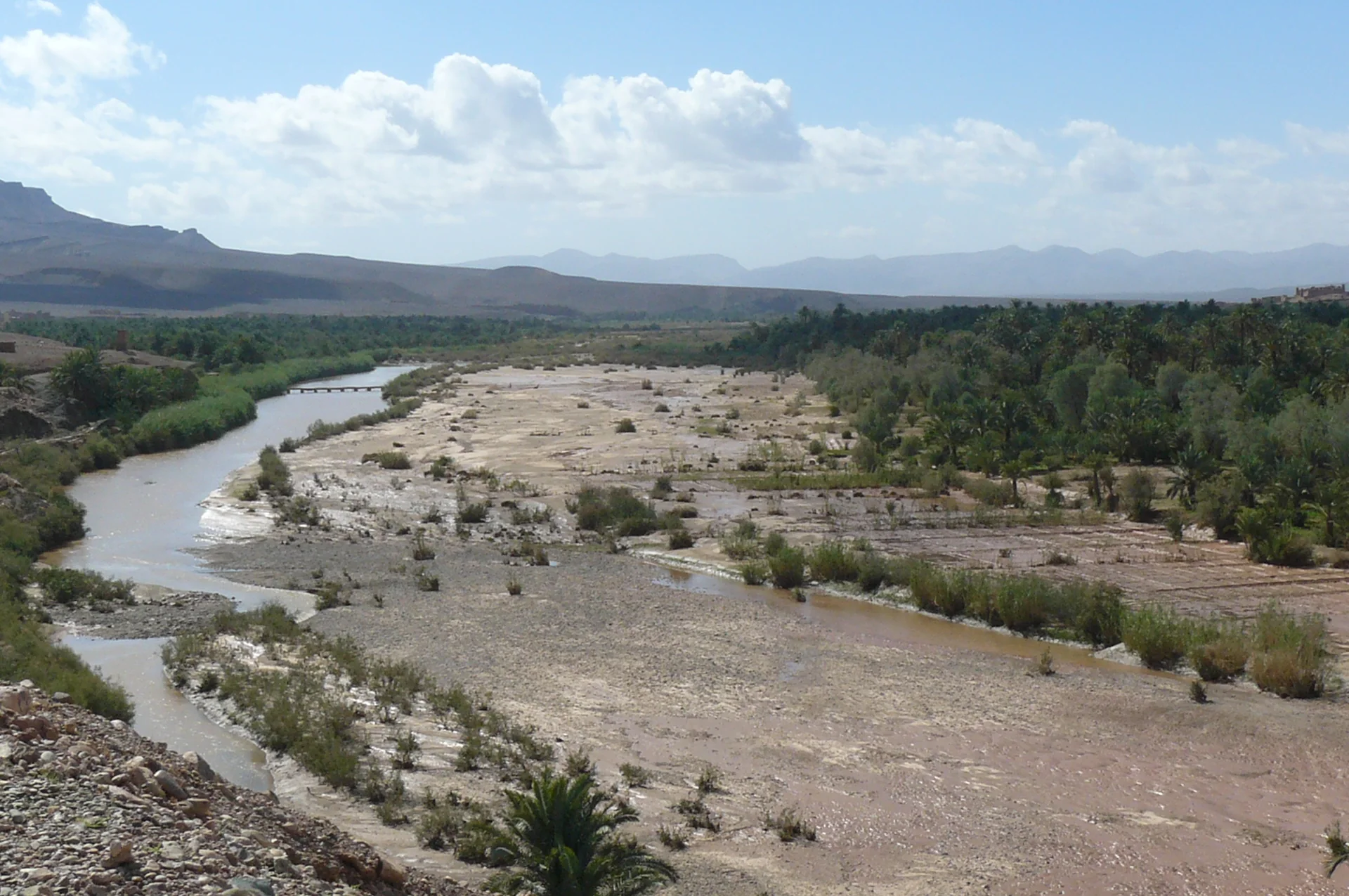
Agdz to Zagora and beyond
Palm groves, earth-built villages and cultivated river terraces along Morocco’s great southern valley.