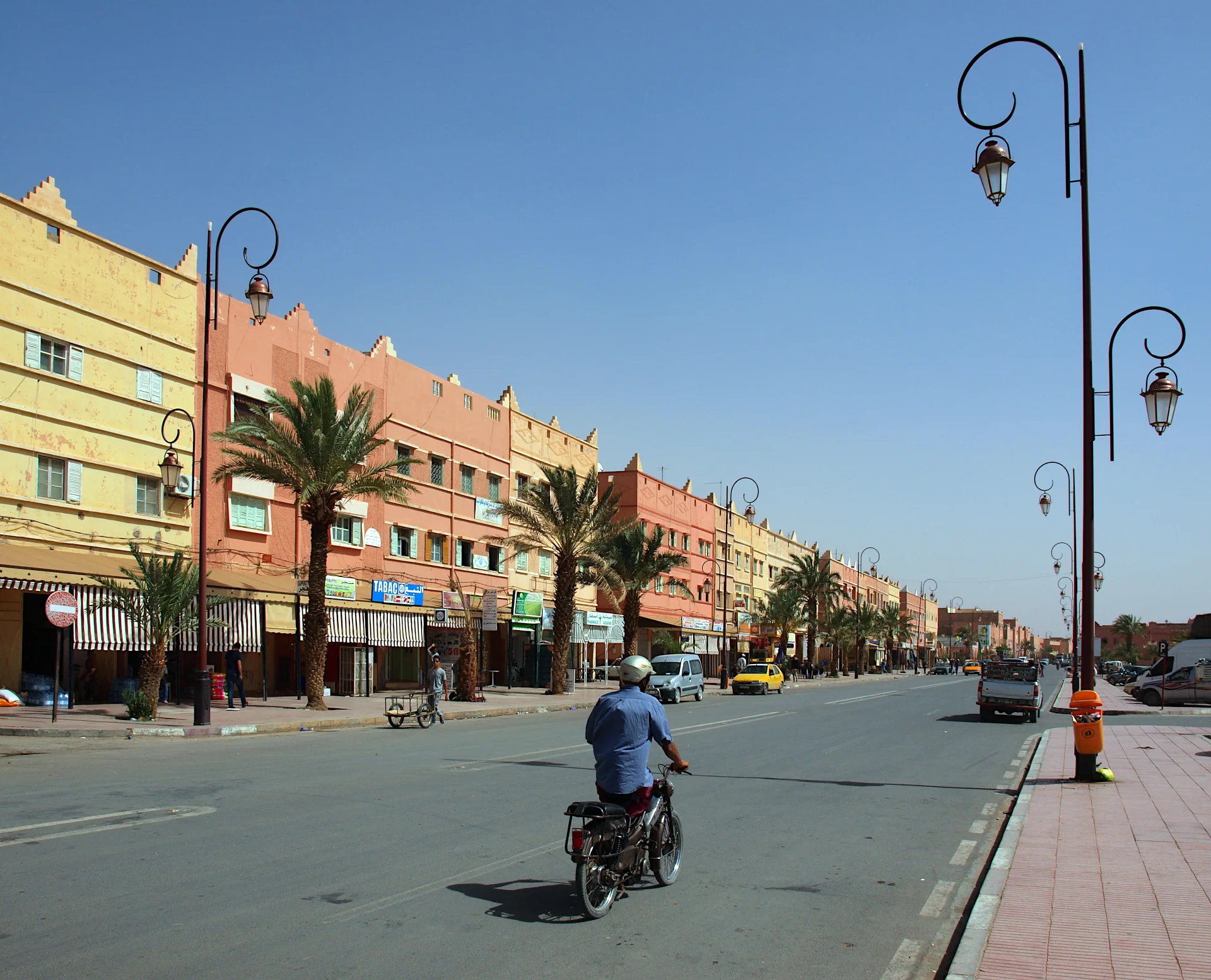
Drâa Valley
Zagora
A southern valley town that connects oasis life with the onward road towards M’Hamid.
THE REGIONAL ATLAS
From a half day in the city to a journey deep into the south. Find the places that belong in your story.
32DISCOVERIES32 discoveries
Explore on the mapDrâa Valley
A southern valley town that connects oasis life with the onward road towards M’Hamid.
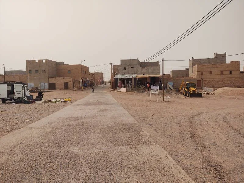
Lower Drâa route planning
Understand the difference between staying near M’Hamid and travelling farther to the dunes of Erg Chegaga.
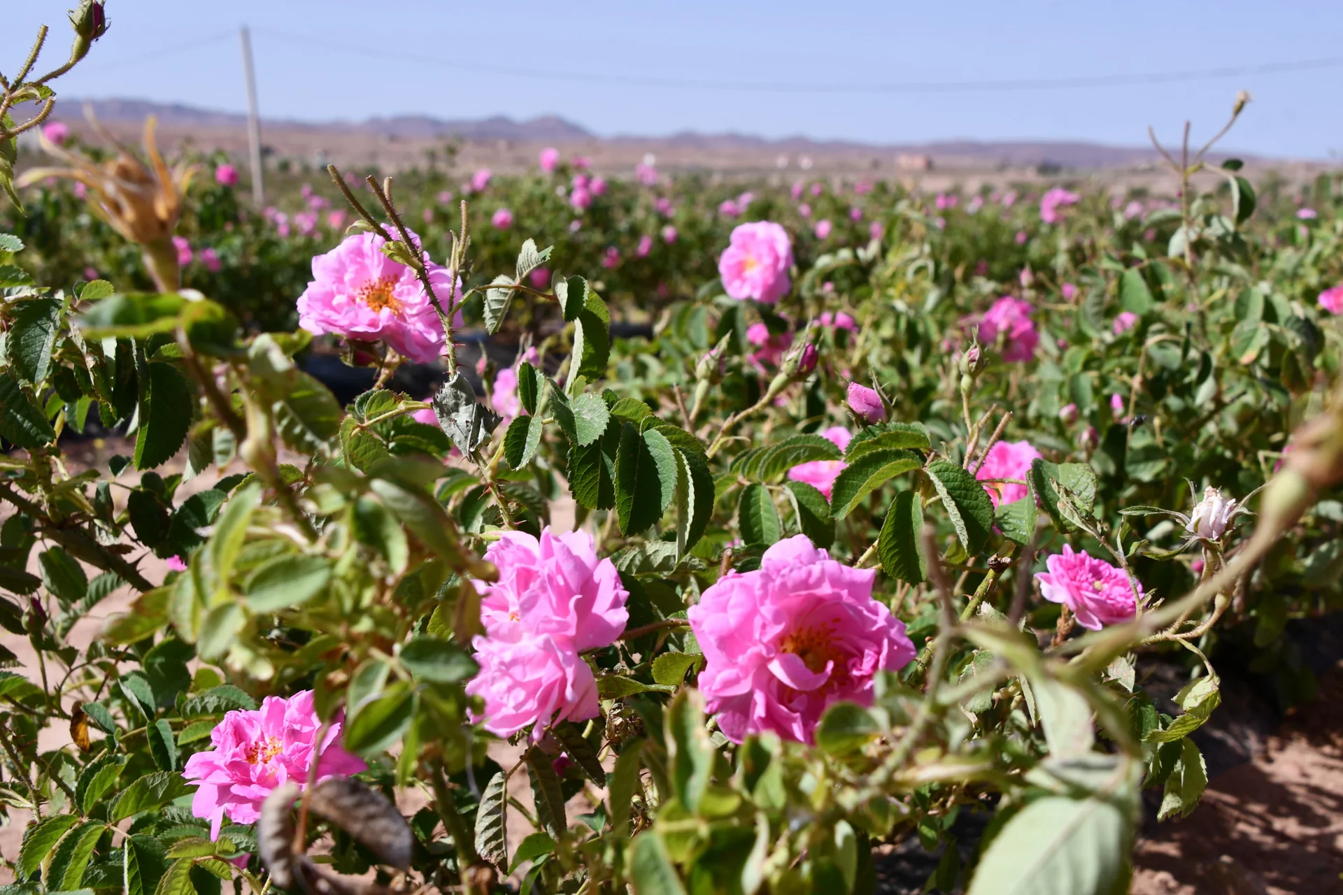
M’Goun Valley
Cultivated valley country around Kalaat M’Gouna, known for its seasonal rose harvest.
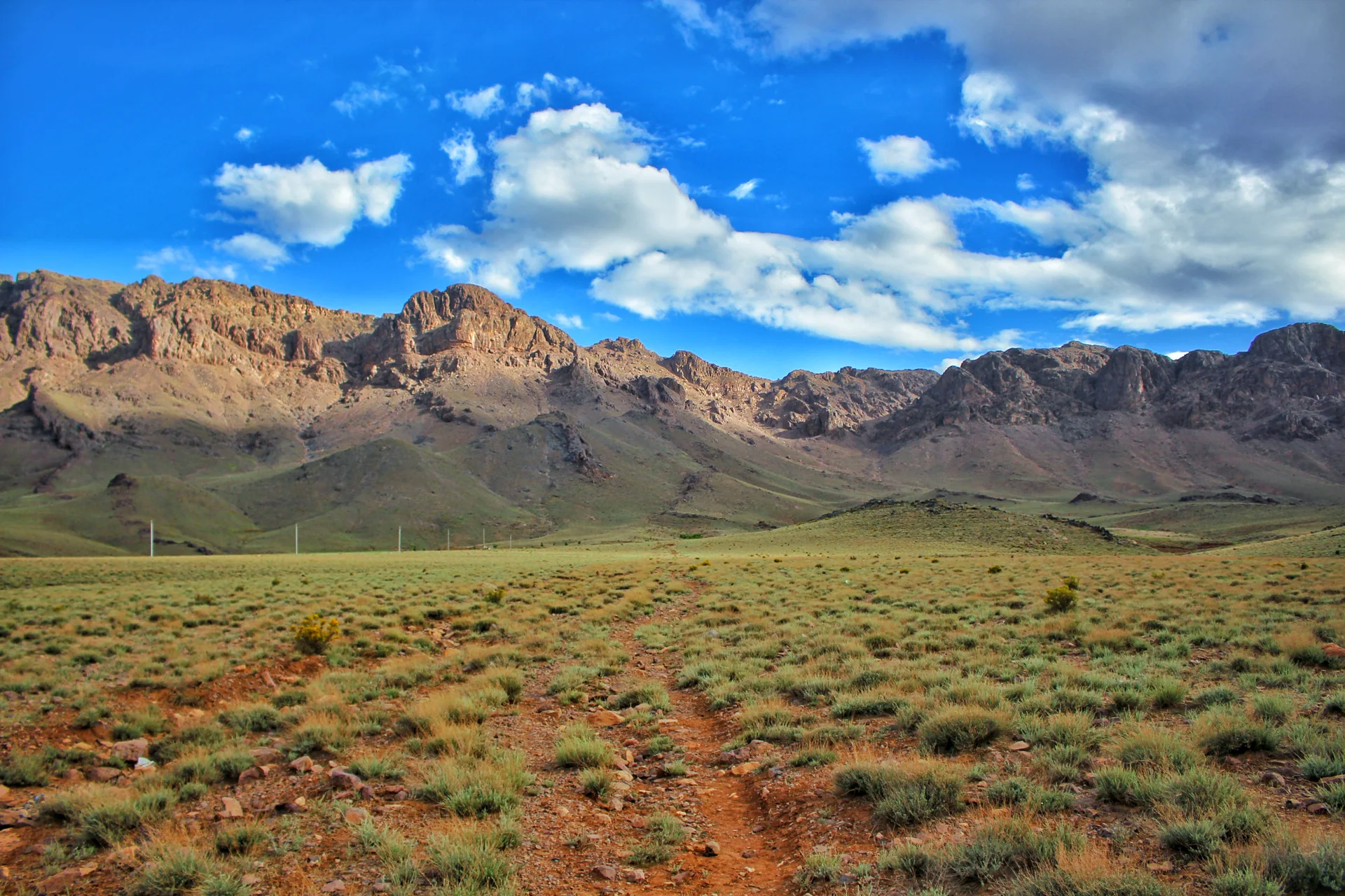
Anti-Atlas
A rugged mountain landscape of exposed rock between the Dades corridor and the southern oasis routes.
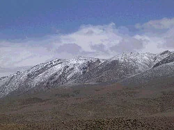
High Atlas
High mountain country above the rose-growing valleys, with routes suited to properly planned trekking.
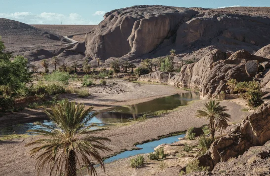
Southern Ouarzazate
Village and palm-grove country across the river from Ouarzazate, with a varied collection of guest houses.
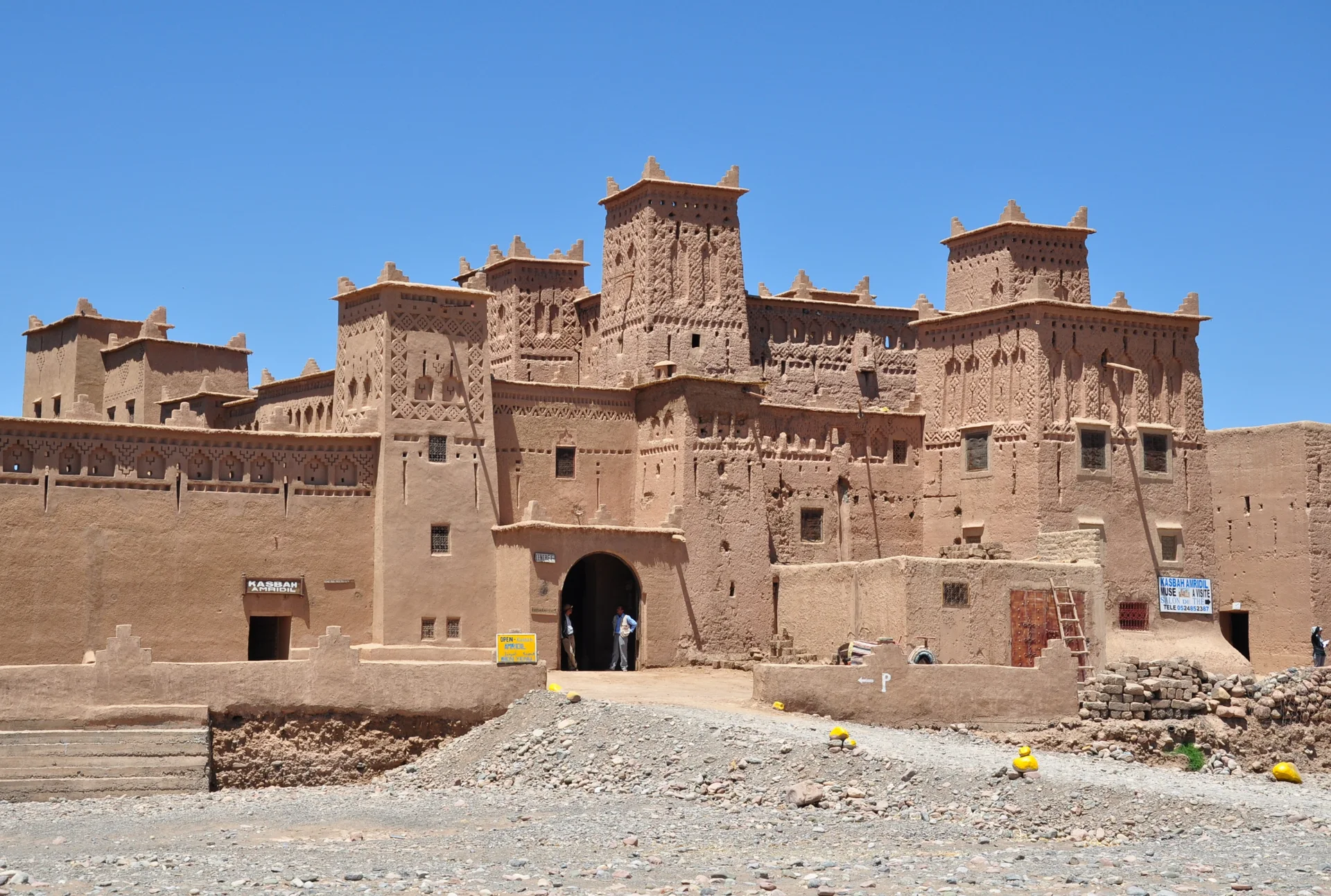
Skoura palm grove
One of Skoura’s best-known earthen kasbahs, set within the oasis landscape.
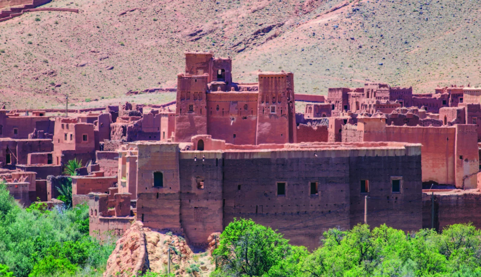
Ounila Valley
A village and kasbah stop farther along the Ounila corridor from Aït Ben Haddou.
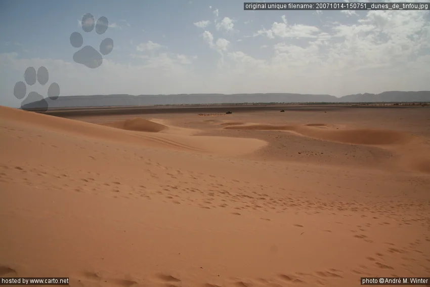
South of Zagora
A small dune landscape near the road beyond Tamegroute, distinct from the larger desert ergs.
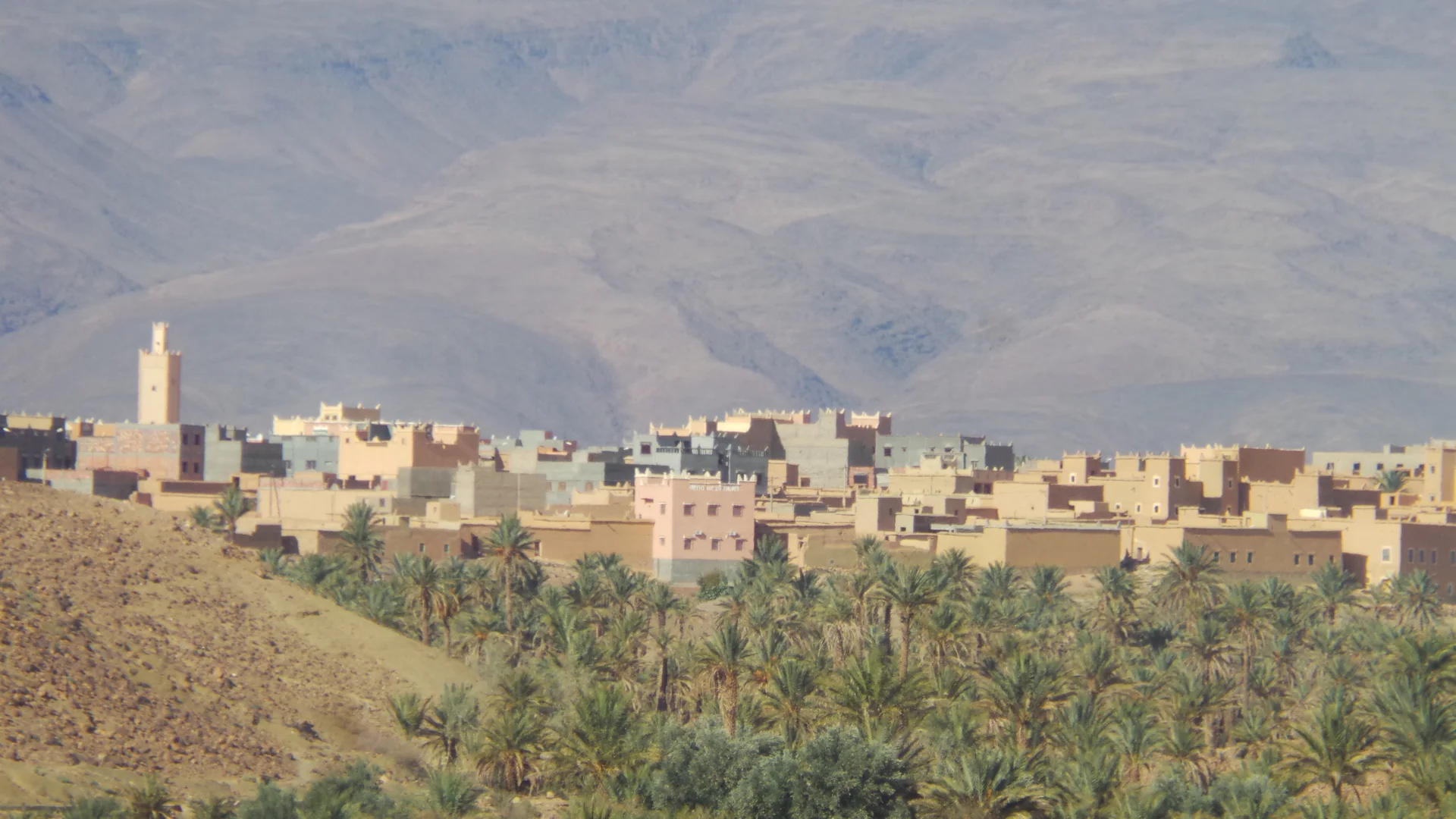
Jbel Saghro / southern oasis routes
A village landscape of earthen kasbahs and palms on the southern side of Jbel Saghro.
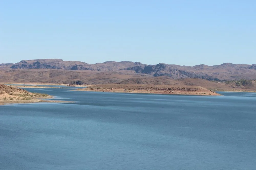
Ouarzazate basin
A reservoir landscape east of Ouarzazate, where water levels change the shape of the shoreline.
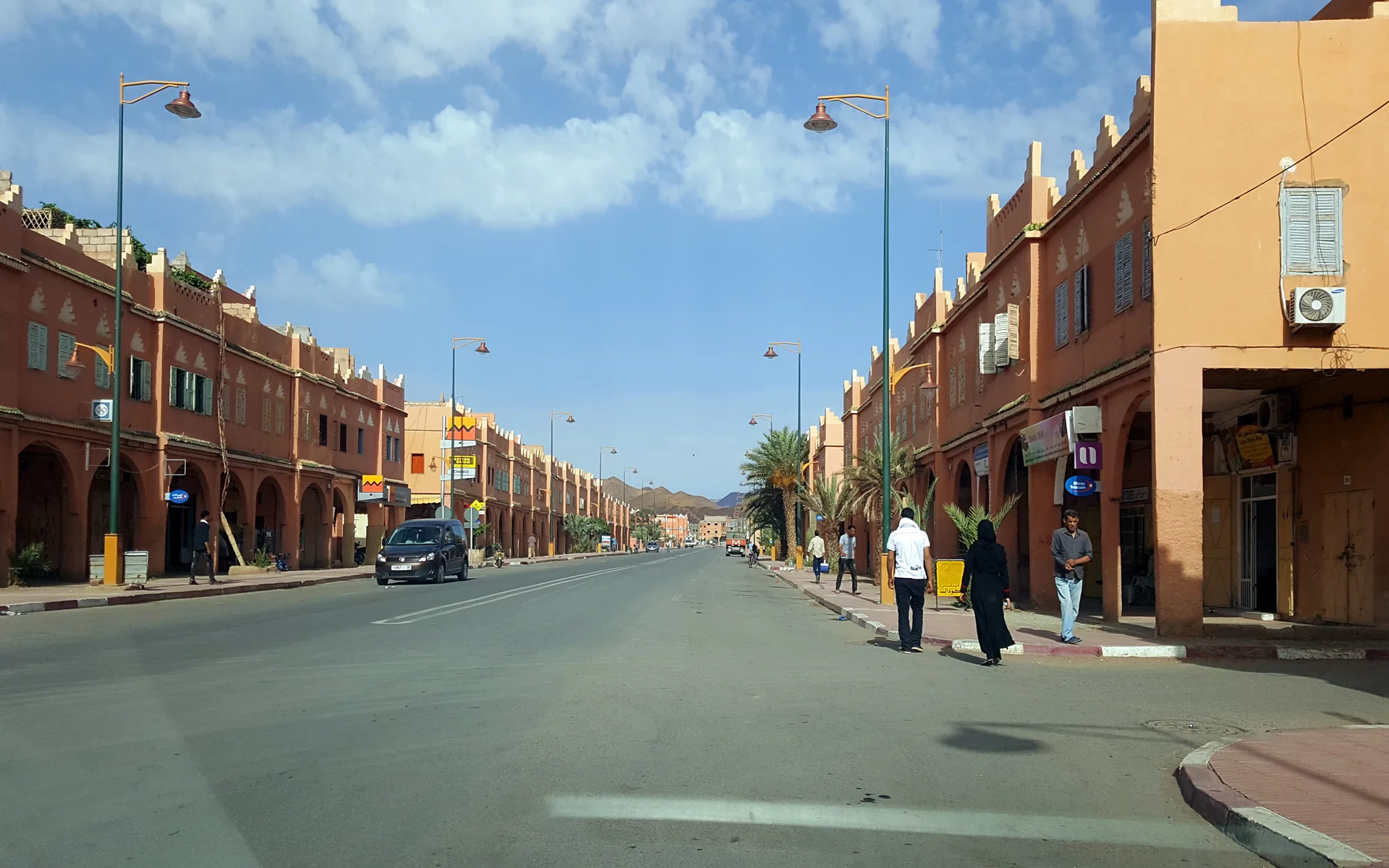
Upper Drâa Valley
A town at the northern gateway to the Drâa palm groves, beneath the profile of Jbel Kissane.