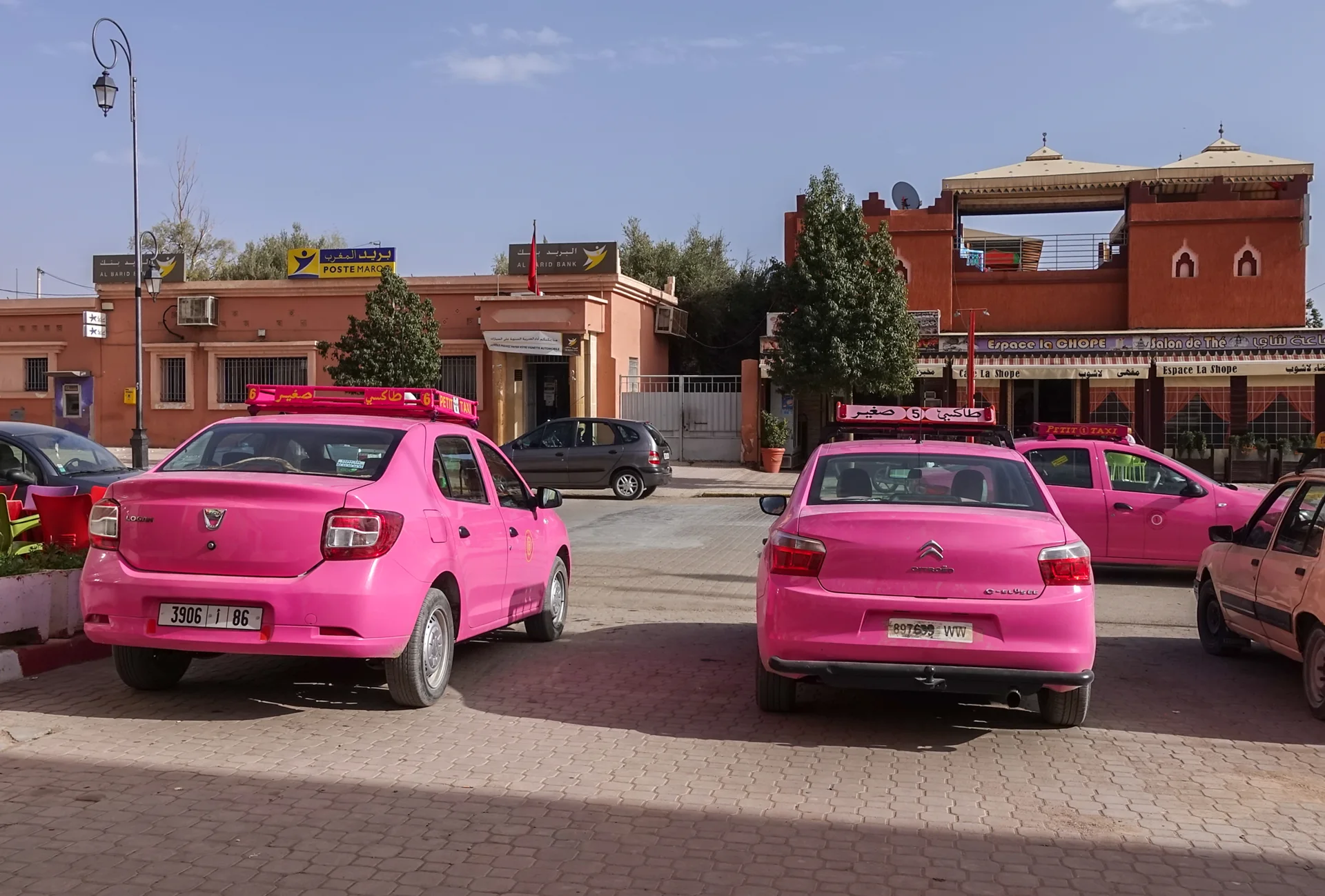
Dades / M’Goun junction
Kalaat M’Gouna
The rose-growing region’s principal town, where the M’Goun corridor meets the eastbound route.
THE REGIONAL ATLAS
From a half day in the city to a journey deep into the south. Find the places that belong in your story.
32DISCOVERIES32 discoveries
Explore on the mapDades / M’Goun junction
The rose-growing region’s principal town, where the M’Goun corridor meets the eastbound route.
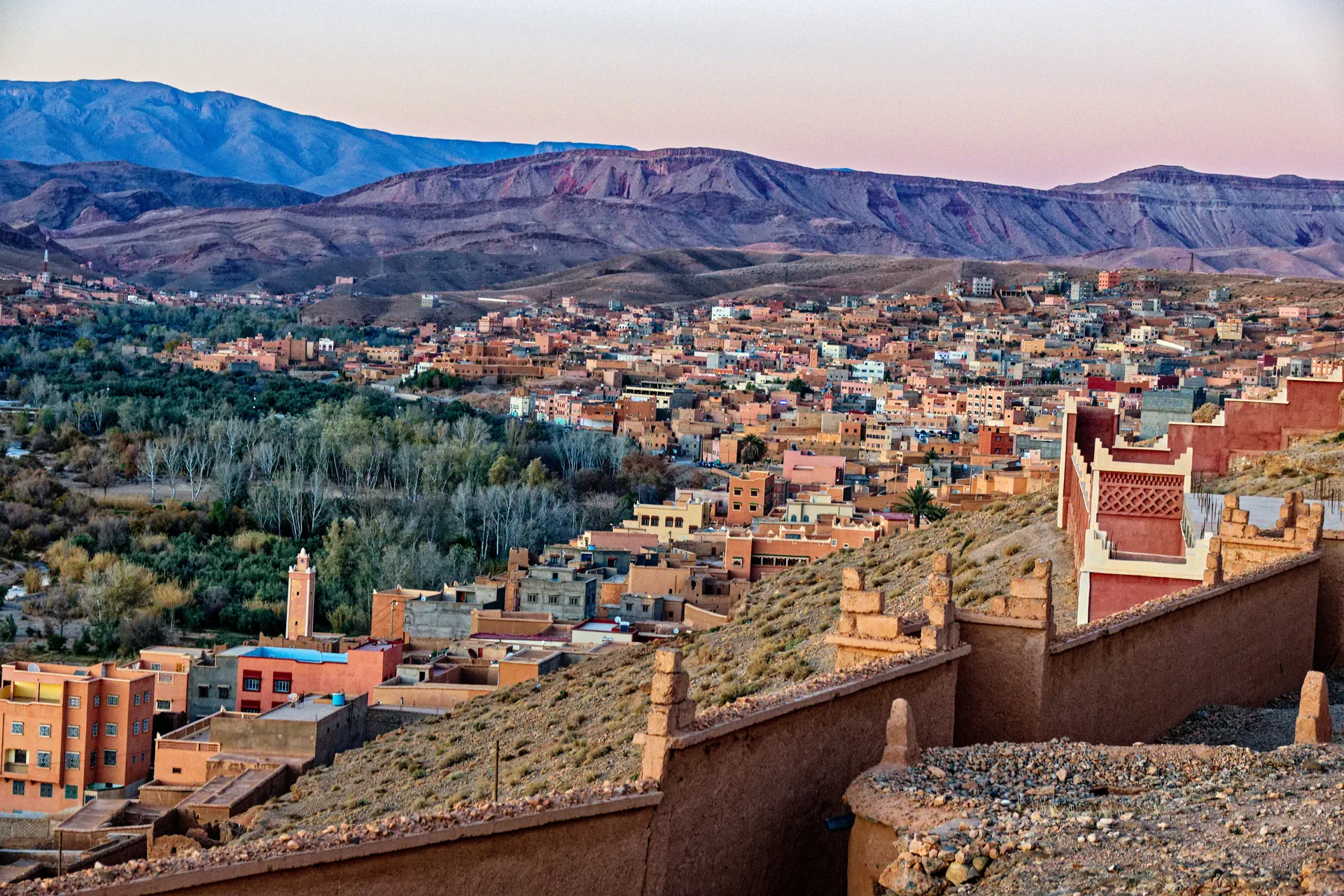
Dades Valley
A town above the Dades River and the practical gateway to the valley road and gorges.
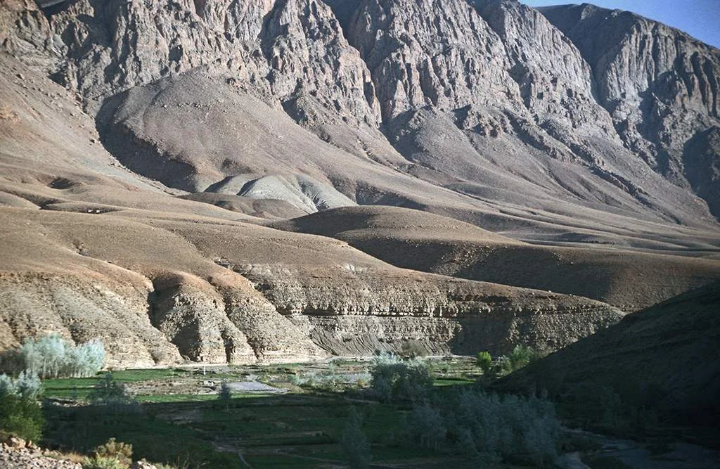
Upper Dades
Narrow rock passages and a winding mountain road above the inhabited Dades Valley.
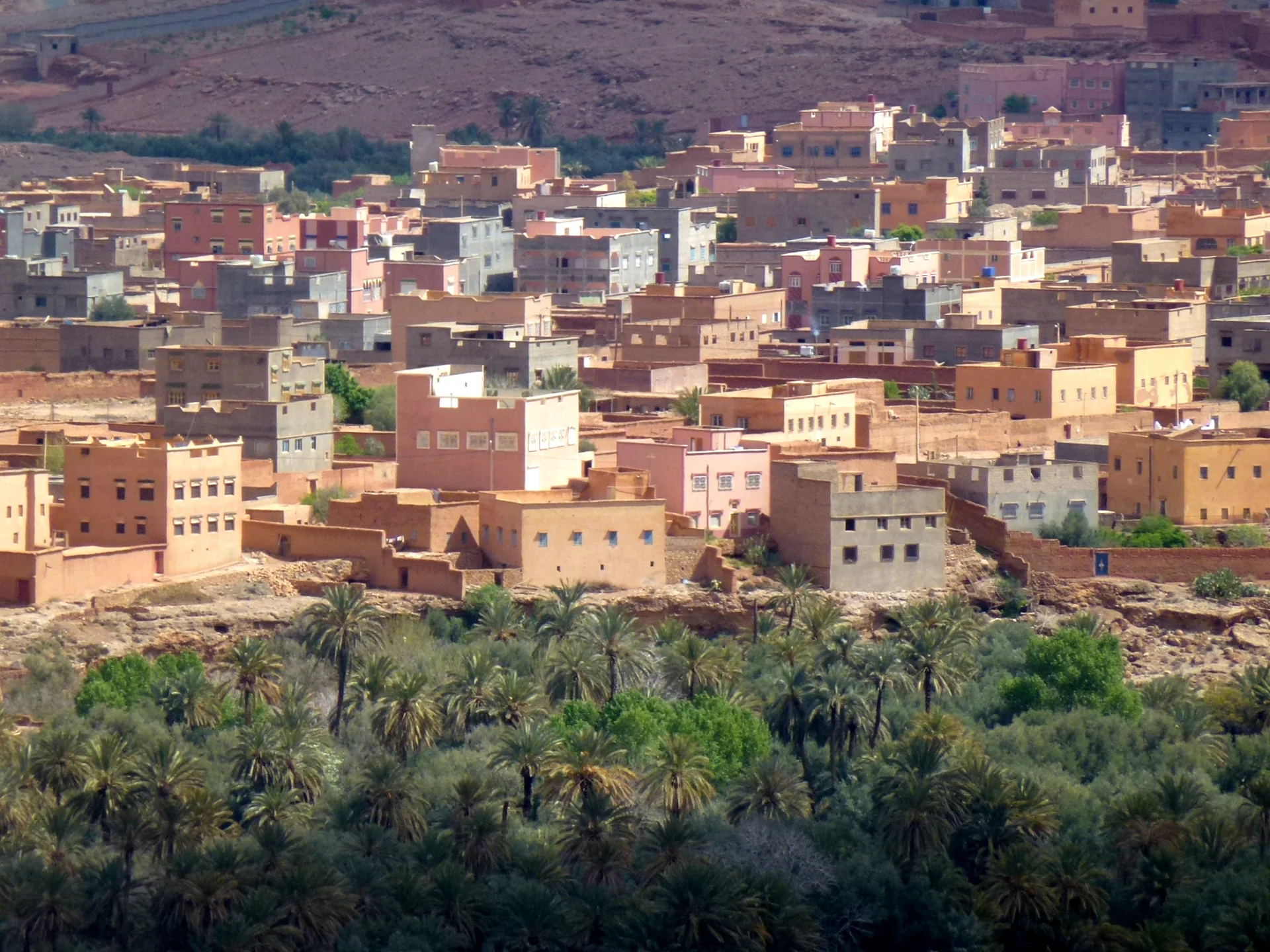
Todgha Valley
A town and palm-grove landscape that form the inhabited approach to the Todgha Gorges.
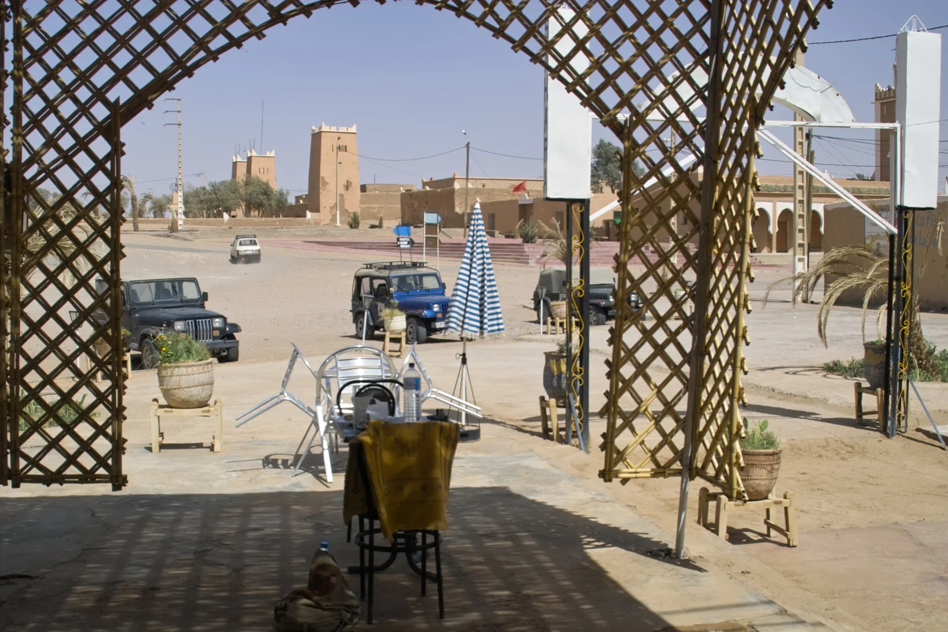
Lower Drâa
An oasis settlement at the end of the paved southern route, and a starting point for desert journeys.
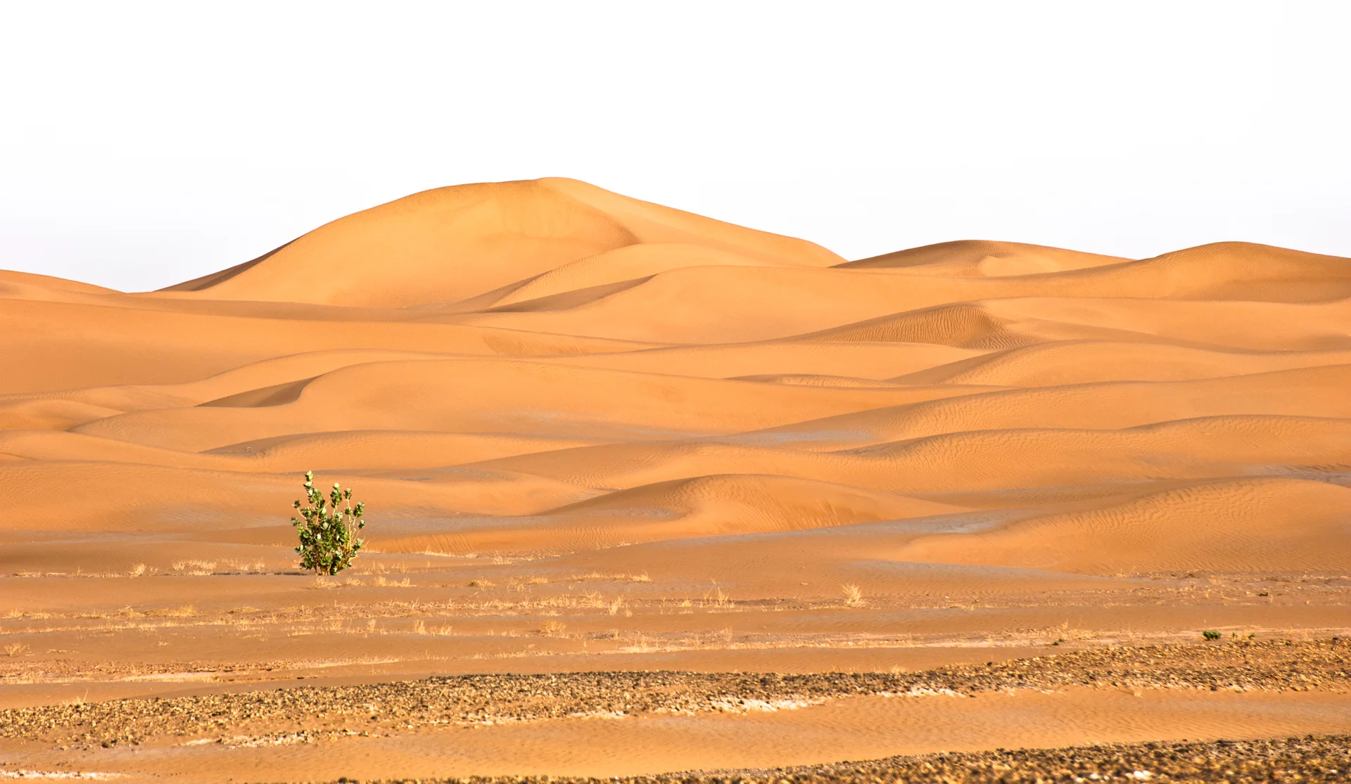
Sahara / M’Hamid hinterland
A remote dune field reached across desert tracks beyond the settled lower Drâa corridor.
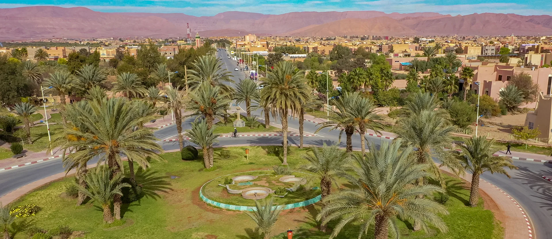
Ziz / Tafilalt
A regional city on the Ziz corridor, useful for understanding the eastern routes towards the Tafilalt.
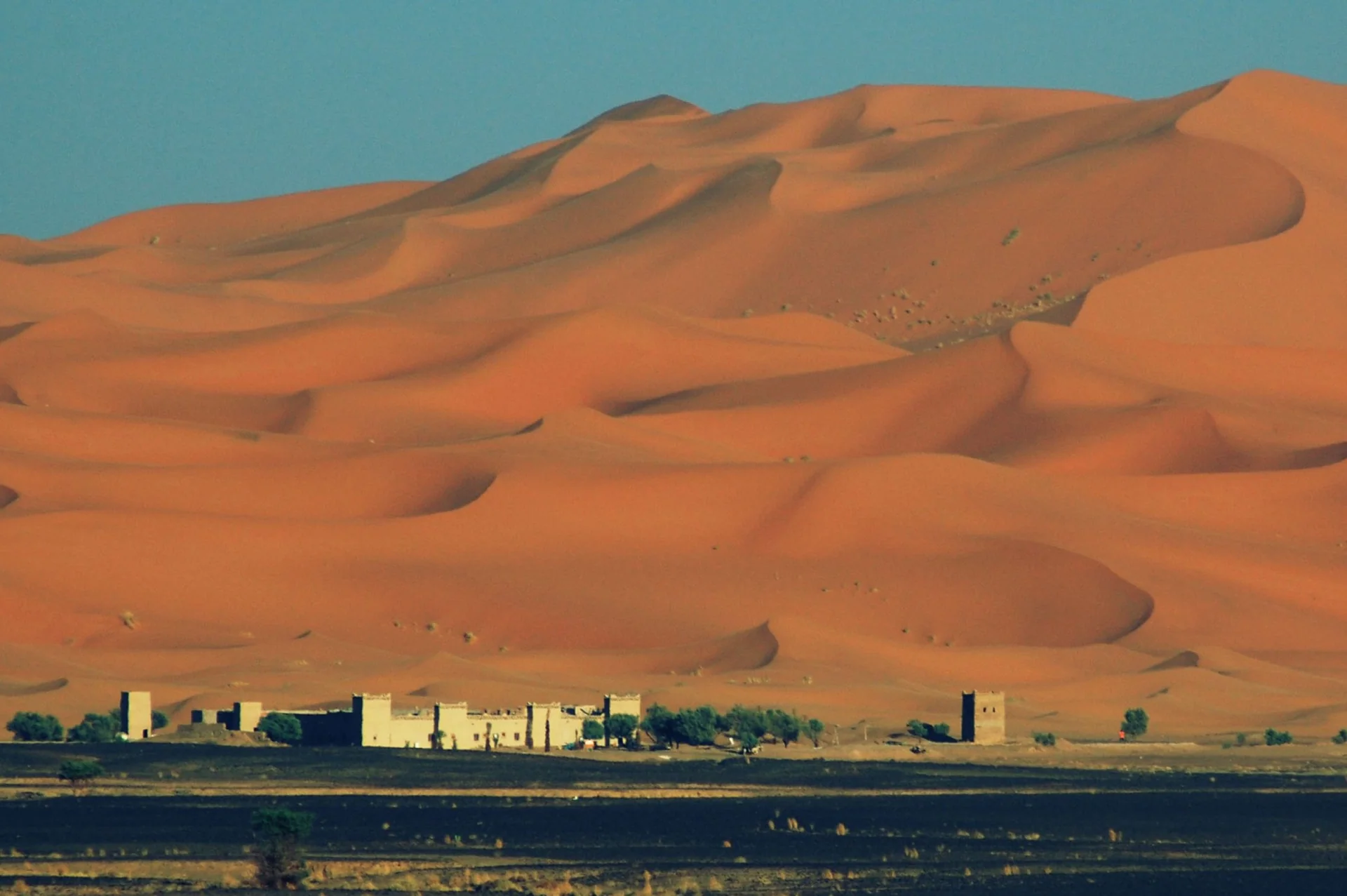
Erg Chebbi / Tafilalt
A village beside Erg Chebbi, where the dune field meets the settled routes of the Tafilalt.