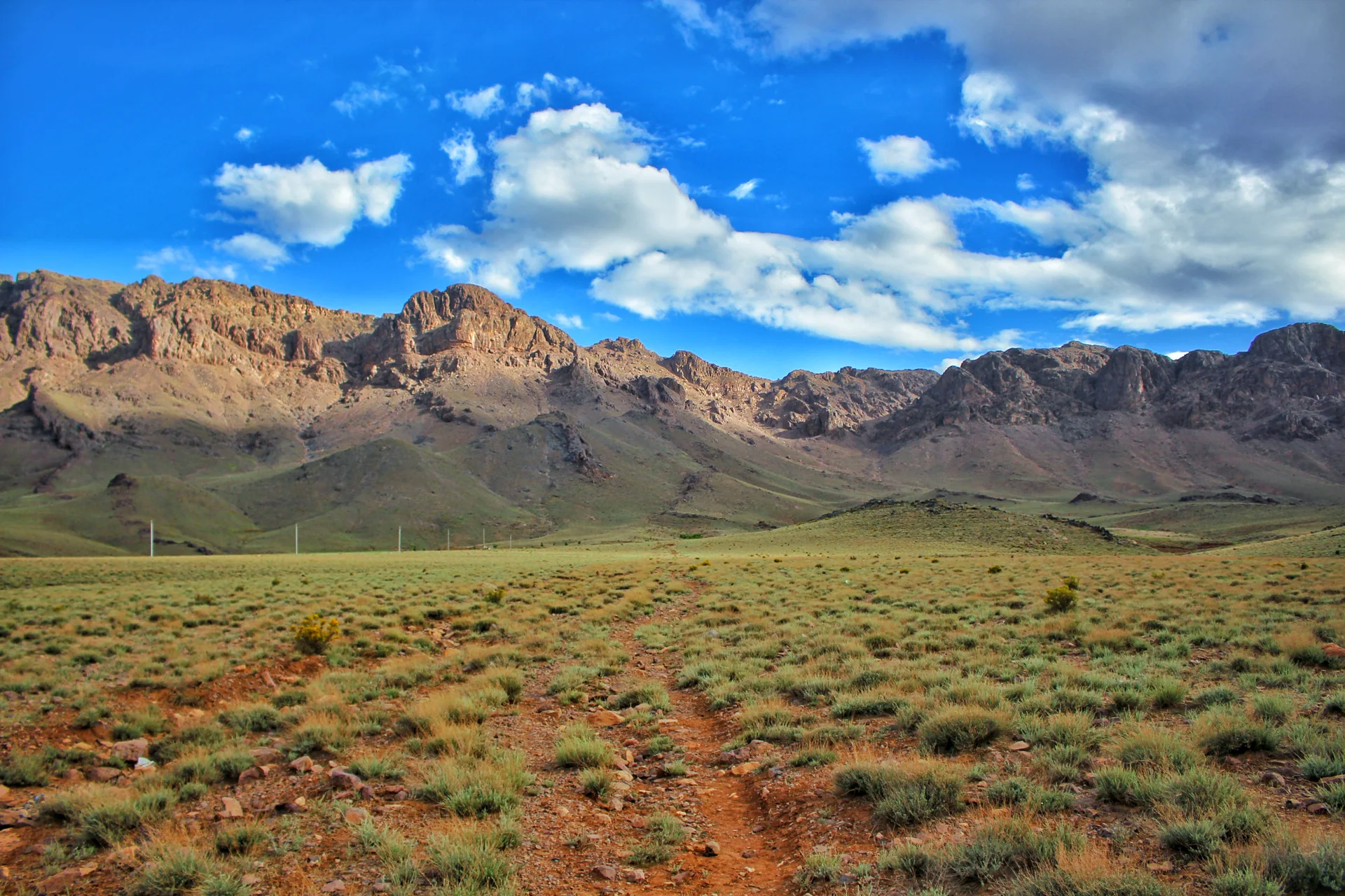
Jbel Saghro — source photograph.

Anti-Atlas

Jbel Saghro

A rugged mountain landscape of exposed rock between the Dades corridor and the southern oasis routes.

Discover the story
DESTINATION / THE FIELD GUIDE

A PLACE TO TAKE YOUR TIME

A rugged mountain landscape of exposed rock between the Dades corridor and the southern oasis routes.

31.150° N / 5.650° W

Jbel Saghro offers a different mountain character from the higher, snowier Atlas ranges. Rock formations, open slopes and scattered settlements shape walking routes that need careful planning for water, weather and access.

What to see

Rock formations, mountain passes and village landscapes.

What to do

Arrange a supported trek with a local mountain guide.

Practical information

Confirm current access, opening arrangements and local conditions before travelling. Use local guides for unfamiliar paths; respect private homes, cultivated land and requests about photography. Accommodation and dining links may refer to your Ouarzazate base or an onward stop; check the address on each listing.

Getting here

Nkob is a southern gateway; routes also connect towards the Dades. Do not assume mountain tracks are suitable for every vehicle.
THE LAND AROUND YOU

A place
between places.

Follow the landscape a little further.
These nearby places continue the story.

Explore the regional map

Schematic locations, not road directions.

iBEFORE YOU GO

The useful
details.

A little preparation.
More room for the experience.

Time to allow

Guided multi-day journey

The setting

Anti-Atlas

Region

Anti-Atlas

Find it on the mapJbel Saghro — area marker, not an entrance

Area marker only. Confirm the entrance, meeting point and current access.

A few things
to know.

Can I visit independently?

Many regional stops can be reached independently, but check the approach, return transport and current access. Use local guidance for unfamiliar walking routes.

Are opening hours and prices fixed?

No. Confirm access and any charges directly before travelling; conservation, weather and private operations can affect a visit.

Researched with source information · Reviewed 2026-09-27. Reconfirm changing details before travel.

TRAVEL ONWARD

There is
always more.

01Nkob — source photograph.

Jbel Saghro / southern oasis routes

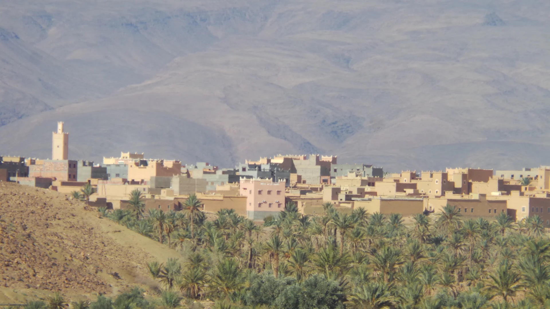
Nkob

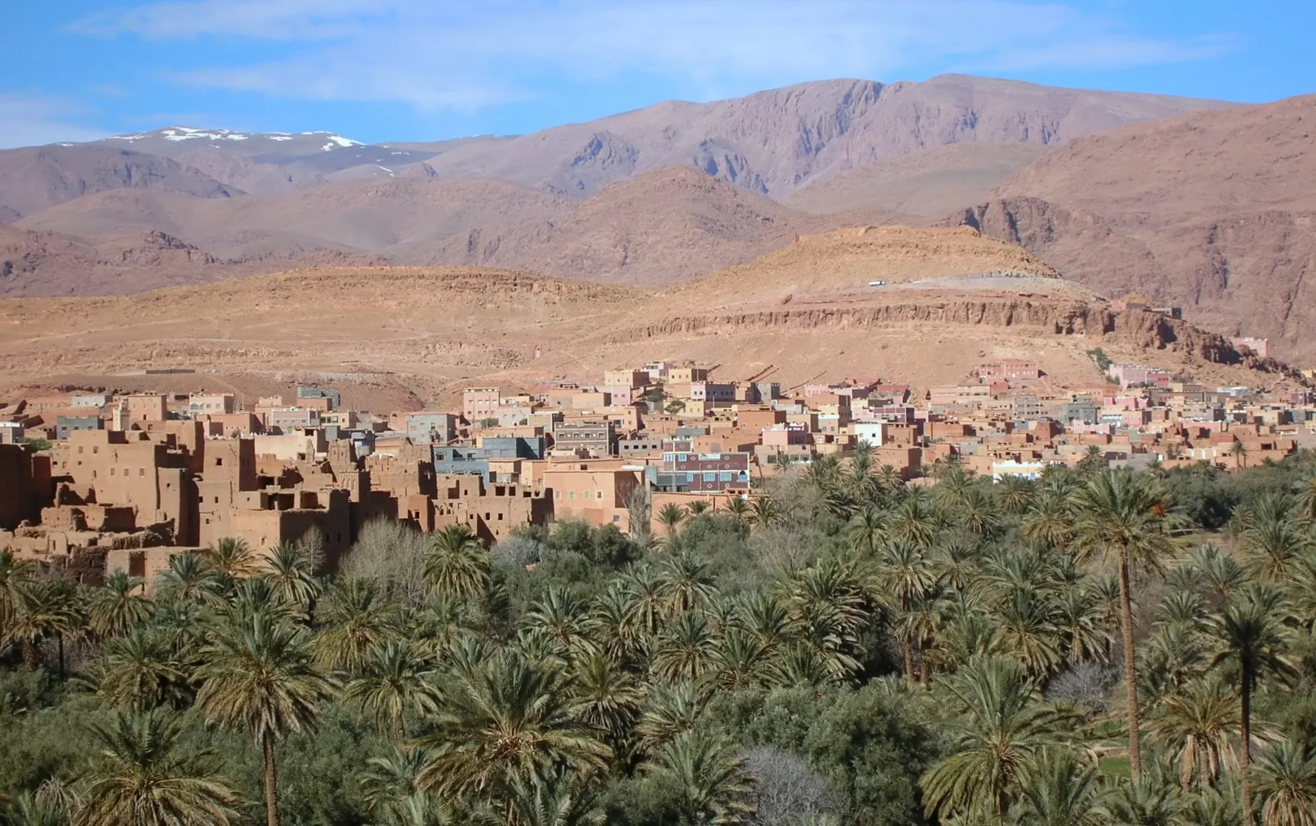
A village landscape of earthen kasbahs and palms on the southern side of Jbel Saghro.

02Dades Valley — source photograph.

Southern High Atlas

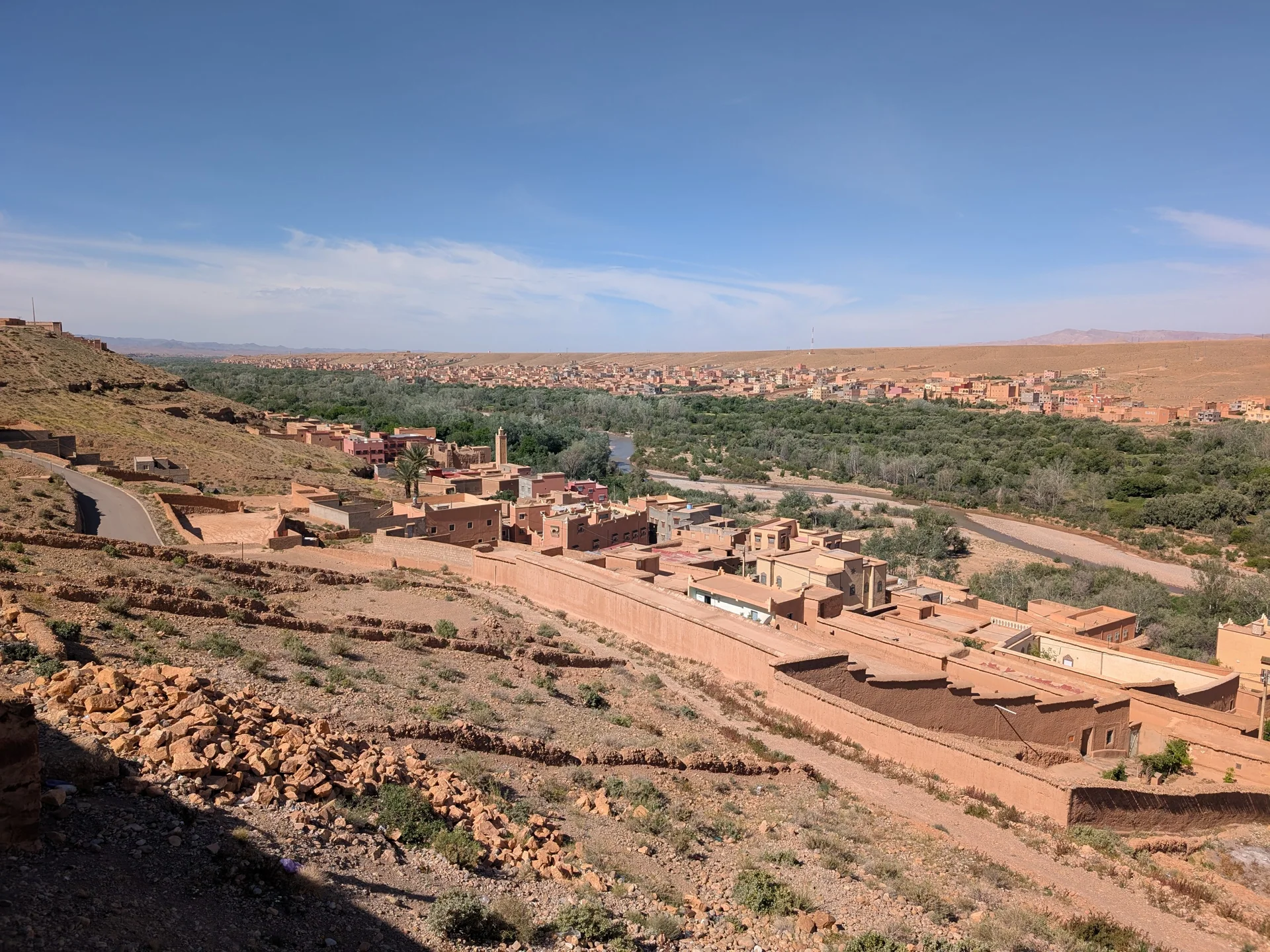
Dades Valley

A cultivated river valley where villages, gardens and rock formations share the same narrow corridor.

03Tinghir and the Todgha oasis corridor, on the return stage of the South Oasis journey.

South Oasis Route & Erg Chebbi

South Oasis Route & Erg Chebbi

Four days linking the Dades, Saghro, Nkob and remote southern tracks with the dunes of Erg Chebbi.

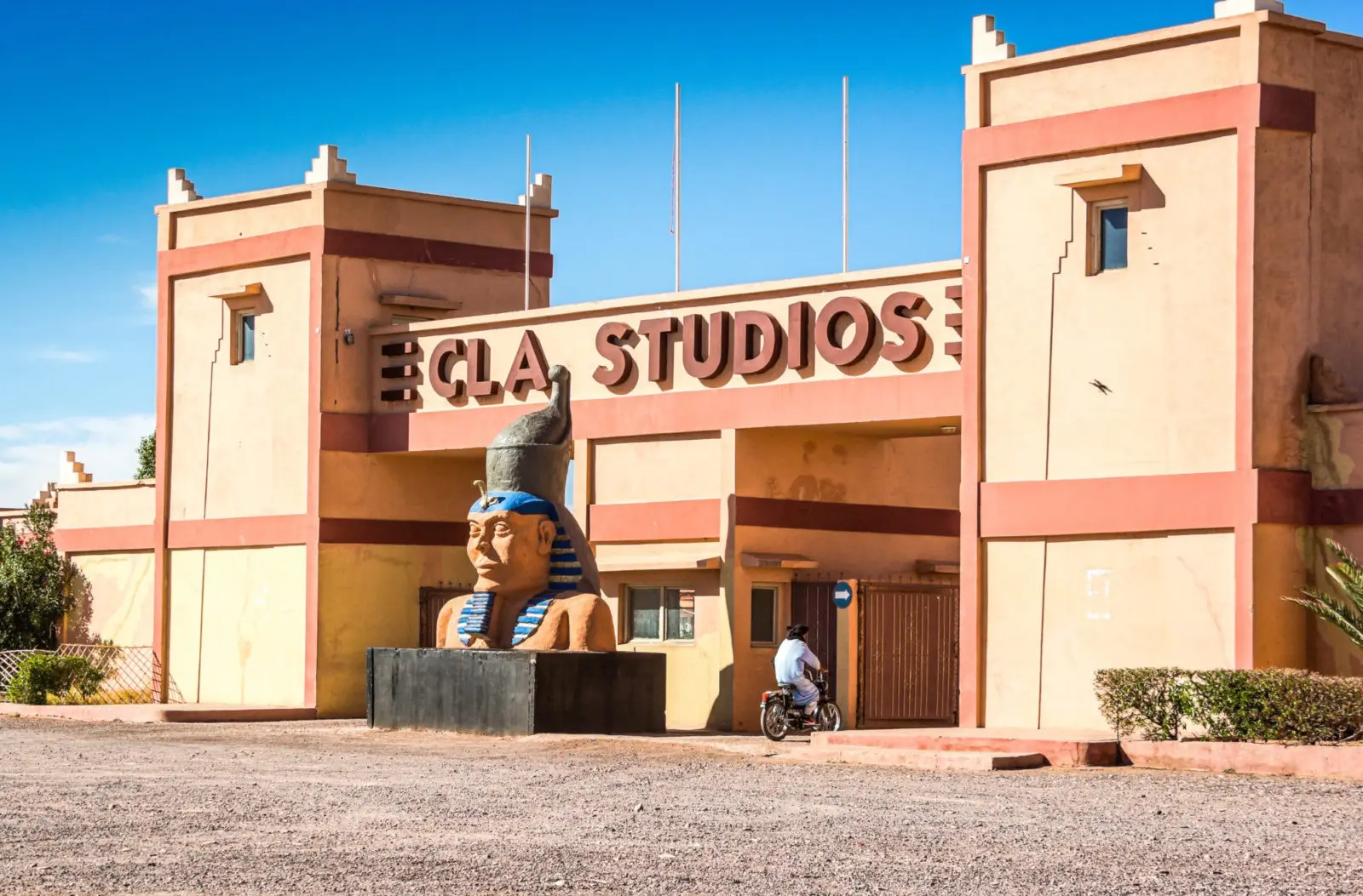
04CLA Studios entrance in Ouarzazate

article

Beyond the film set

Notes from the landscapes, craft and everyday life of southern Morocco.

05Residence Chay — source photograph.

Luxury Apartments

Residence Chay

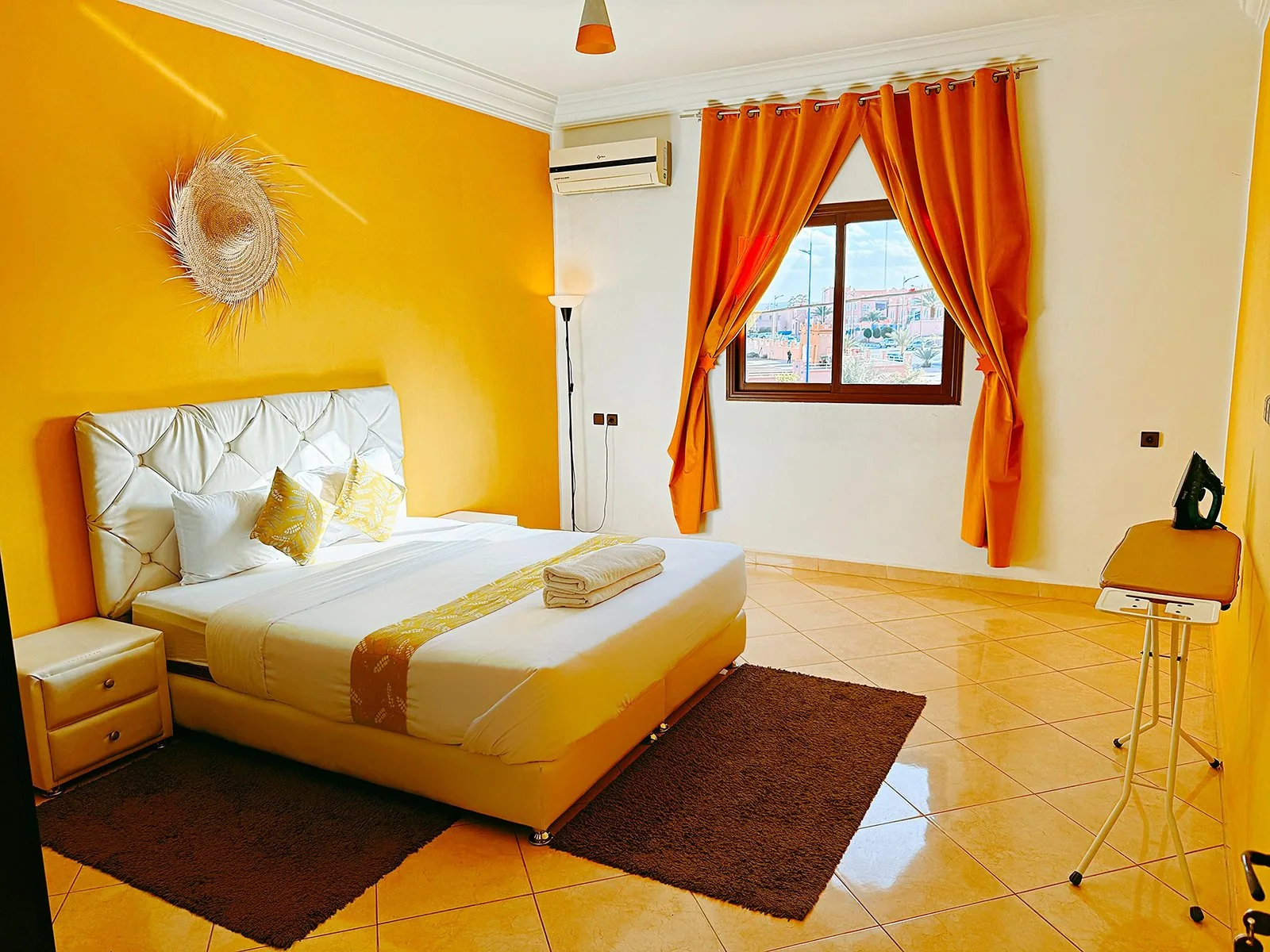
Independent apartments in Hay El Massira, with room to unpack and settle into an Ouarzazate routine.

06Restaurant Habous — source photograph.

Moroccan / Café / Patisserie

Restaurant Habous

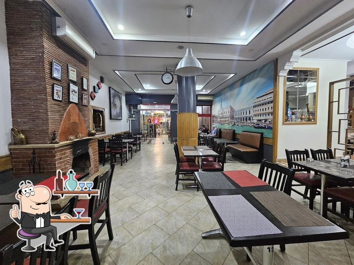
A café, bakery and restaurant on Place El Mouahidine, useful for a pause in the centre of town.

Photography credits

Nawfal Kharbach · CC BY-SA 4.0 / Resized and converted to WebP; displayed with responsive crops.

A little choice goes a long way.

Essential storage keeps forms secure and saves your trip ideas. Optional tracking helps understand visits and marketing only if you accept.

Read the privacy notice